Glyph 260 (Gb2-5) could express the idea of 13 * 20 = 260 days:
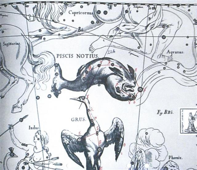
The number of Babylonian ecliptic constellations was 20 and although Allen has not provided me with explicit information of which the first such constellation was, we can guess it might have been the Great One (Aquarius), or to be more precise Kakkab Nammax (Sadalsud).
282 (October 9) at Spica - Sadalsud (February 9) = 242 happens to be the number of glyphs on side b of the G tablet. Possibly it means side a covers the ecliptic path of the Sun (and the other planets). This 'furrow' has to continue past Spica in order to ultimately reach 360º. 360 - 242 = 118 = 2 * 59 and 366 - 242 = 124 = 4 * 31.
There is a sign which distinguishes henua in Gb2-5 (260), viz. the straight short bottom line, because the norm for henua in the G text is concave short ends.
Possibly the usually concave ends of henua should be interpreted as a way to make clear how the long sides of the rectangles are lines in right ascension time. The circles of declination could then be perceived as concave curves.
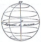
A straight bottom henua line could then be the equator (the navel of the Sun) - the 'foundation'. ... In 1865 Kamakau recorded the Instructions in Ancient Hawaiian Astronomy as Taught by Kaneakahowaha, Astronomer, Seer, and Counselor of the Court of King Kamehameha I from which the following extract was taken: Take the lower part of a gourd or hula drum, rounded as a wheel (globe), on which several lines are to be marked and burned in, as described hereafter. These lines are called na alanui o na hoku hookele, the highways of the navigation stars, which stars are also called na hoku ai-aina, the stars which rule the land. Stars lying outside these three lines are called na hoku a ka lewa, foreign, strange, or outside stars. The first line is drawn from Hoku-paa, the fixed or North Star, to the most southerly star of Newe, the Southern Cross. (This hour circle coincides with the meridian on an evening in June, when it would divide the visible sky into halves.) The portion (of the sky) to the right or east of this line (the observer is evidently assumed to be facing north) is called ke ala ula a Kane, the dawning or bright road of Kane, and that to the left or west is called ke alanui maawe ula a Kanaloa, the much-traveled highway of Kanaloa. (Kane and Kanaloa were important gods in the Polynesian pantheon, Kane being associated with light, Kanaloa with darkness.) Then three lines are drawn east and west, one across the northern section indicates the northern limit of the Sun (corresponding with the Tropic of Cancer) about the 15th and 16th days of the month Kaulua (i.e., the 21st or 22nd of June) and is called ke alanui polohiwa a Kane, the black-shining road of Kane. The line across the southern section indicates the southern limit of the Sun about the 15th or 16th days of the month Hilinama (December 22) and is called ke alanui polohiwa a Kanaloa, the black-shining road of Kanaloa. The line exactly around the middle of the sphere is called ke alanui a ke ku'uku'u, the road of the spider, and also ke alanui i ka Piko a Wakea, the way to the navel of Wakea (the Sky-father). Between these lines are the fixed stars of the various lands, na hokupaa a ka aina. (These are the stars which hang suspended in the zeniths of the Polynesian islands most of which lie within the tropics.) On the sides are the stars by which one navigates.
|
||||||||||||||||||||||||||||||||||||||||||||||||||||||||||||||||||||||||||||||||||||||||||||||||||||||||||||||||||||||||||||||||||||||||||||||||||||||||||||||||||||||||||||||||||||||||||||||||||||||||||||||||||||||||||||||||||||||||||||||||||||||||||||||


